
Location tracker
In order to give you more relevant recomendations based on your location, we need your permission to have access to it.
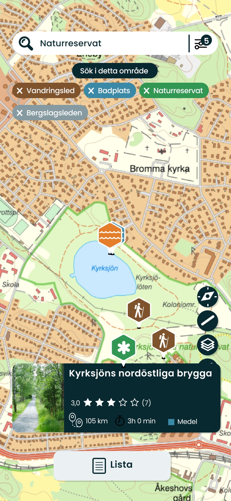
Trails near you
Discover the best hiking-trails in municipalities near you
Prepare your next adventure

Where to hike
Where to eat
Where to sleep
Download the app
Naturkartan’s app will be updated with a new design and with new functions later this spring, but until then you can download Sweden’s leading nature guide here.
Download on


Explore all guides on Naturkartan
-


Sliperiet Gylsboda
Välkommen till Sliperiet Gylsbodas fantastiska ...
-


Helsingborg kommun
Välkommen till Helsingborgs stads naturkarta.
-


Östgötaleden
Välkommen till Östgötaleden, 150 mils vandring ...
-


St Olav Rombo Way
St Olav Rombo Way - the Swedish Camino is the o...
-


Storuman
Välkommen till Storumans fantastiska friluftsliv!
-


170 organizations use Naturkartan. Do you want to be visible too?
Naturkartan is based on collaboration with the main authorities for Sweden’s nature and outdoor life. If you also represent an organization that does not yet use the service – contact us – and we will show you how it works.


